The Mon/Fayette PA Route 51 to I-376 Project has gone through an exhaustive analysis and review process that began more than two decades ago.
The Environmental Impact Statement (EIS) for the project was approved in December 2004 by the Federal Highway Administration identifying the selected alternative to be designed and constructed. While the design phase began in 2005, it was halted
in 2009 due to lack of funding.
In 2013, Act 89 was enacted and provided the necessary funding to allow the project to restart.
In 2015, the Pennsylvania Turnpike Commission (PTC) performed studies to identify how the originally designed project could be modified and completed with the funding available through Act 89.
Studies showed eliminating the west leg of the original project that led into Pittsburgh would substantially reduce the project cost, as well as residential and business displacements. This updated information was added to the EIS, which was approved in 2019, and reduced the scope of the original project.
A re-evaluation of the approved FEIS will be completed once design work starts north of the Monongahela River.
Design Archives
To help you better understand the design process, detailed design maps and presentations have been archived below and are available for review.
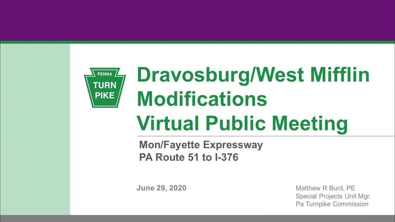
Virtual Presentation for Dravosburg/West Mifflin Design Modifications
The Pennsylvania Turnpike Commission invites you to view a special presentation concerning design modifications to the PA Route 51 to I-376 Mon/Fayette Expressway Project being considered in the area of West Mifflin and Dravosburg – specifically between Camp Hollow Road and Pittsburgh-McKeesport Boulevard.
The design modifications in this area are due to recent findings from geotechnical explorations (drilling), utility relocation issues, ongoing assessment of environmental impacts and future maintenance considerations.
Visit this PennDOT web page to learn more about round-abouts and their safety advantages.
April 2018 Public Plan Display Graphics and Maps
Thanks to all those who attended the April 3rd, 4th, and 5th, 2018 Public Plans Display meetings at the Georgetown Centre. The graphics and maps presented at the meeting are provided below.
- Schedule Display Board_PPD Meetings April 2018 pdf (102 KB)
- Project Overview Display Board_PPD Meetings April 2018 pdf (244 KB)
- MFE Noise Study 53C pdf (14298 KB)
- MFE Noise Study Index pdf (7826 KB)
- MFE Noise Study 53B pdf (16012 KB)
- MFE Noise Study 53A pdf (14530 KB)
- MFE Apr 2018 Meeting Handout pdf (1923 KB)
- MFE Legend Board for Maps pdf (86 KB)
- MFE 53C Aerial-Homeville Rd to Duquesne Blvd April 2018 pdf (10283 KB)
- MFE 53C Map-Homeville Rd to Duquesne Blvd April 2018 pdf (8084 KB)
- MFE 53B Aerial-Camp Hollow Rd to Homevill Rd April 2018 pdf (12251 KB)
- MFE 53B Map-Camp Hollow Rd to Homeville Rd April 2018 pdf (7850 KB)
- MFE 53A Aerial-Clairton Blvd (Rt 51) to Camp Hollow Road April 2018 pdf (11377 KB)
- MFE 53A Map-Clairton Blvd (Rt 51) to Camp Hollow Rd April 2018 pdf (6292 KB)
August 2016 Public Meeting Graphics and Maps
Thank you to the hundreds of people who attended our August 2016 public meetings. Your feedback and questions were greatly appreciated. Please feel free to download the displays or view the project maps shown at those meetings, which are listed below. More public meetings are being planned for 2018 once PA Turnpike engineers finish the timeline for this project.
Project Maps
The Mapping Boards below illustrate the Mon Fayette Expressway alignment. This table provides a key to the Mapping Board that provides details for each municipality. Please note that although the map files have been compressed as much as possible, some are large so make take time to download.
| Municipality | Mapping Board |
|---|---|
| Borough of Jefferson Hills | A |
| Borough of Dravosburg | B |
| Borough of West Mifflin | A, B, C |
| City of Duquesne | C |
| North Versailles Township | C, D |
| East Pittsburgh Borough | C, D |
| Borough of Turtle Creek | D |
| Municipality of Penn Hills | E |
| Municipality of Monroeville | D, E |
| Wilkins Township | D, E |
- MFE-Section-Map-53A2 pdf (374 KB)
- MFE-Section-Map-53A1 pdf (373 KB)
- MFE-Section-Map-53B1A pdf (376 KB)
- MappingBoardE_Aug2016 pdf (6350 KB)
- MappingBoardKey_Overview pdf (3244 KB)
- MappingBoardD_Aug2016 pdf (14401 KB)
- MappingBoardC_Aug2016 pdf (14269 KB)
- MappingBoardB_Aug2016 pdf (15534 KB)
- MappingBoardA_Aug2016 pdf (14383 KB)
Design Team Contact Information
Sections 53A1, 53A2, 53B1A and 53B2
Brian F. Mostek, PE
Pennsylvania Turnpike Commission
700 S Eisenhower Blvd
Middletown, PA 17057
Sections 53C1, 53C2 and 53C3
Mohammad M. Mohammad
Pennsylvania Turnpike Commission
700 S Eisenhower Blvd
Middletown, PA 17057